Sustainability and Climate Risks
Sustainability and Climate Risks
Photo: UHH/Denstorf
18 September 2026
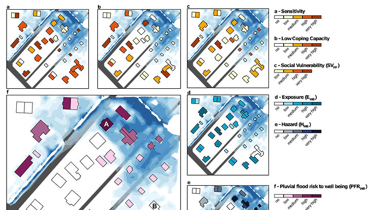
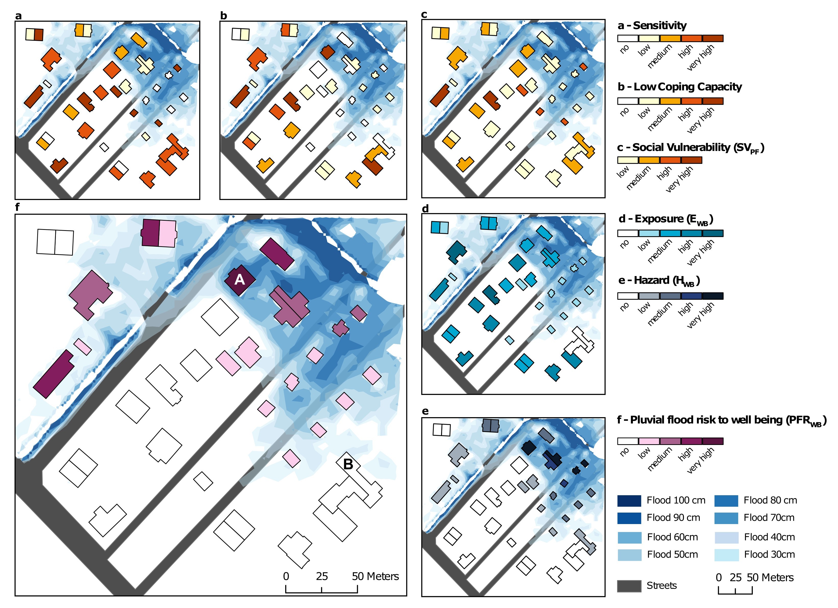
Photo: Vogelbacher et al. (2026)
Climate change is driving more frequent and intense heavy rainfall, increasing pluvial flooding hazards in densely built cities. Researchers at TUHH and Universität Hamburg have developed a high-resolution framework for assessing pluvial flood risk at the building level, following the IPCC risk concept that defines risk as the combination of hazard, exposure, and (social) vulnerability. The framework integrates three a metre-resolution pluvial flood simulation, differentiated exposure assessment capturing ground-floor residents and building accessibility, and a social vulnerability layer reflecting social factors such as age, income, and education. The approach identifies risk hotspots where high social vulnerability coincides with high flood exposure, revealing critical areas that conventional flood mapping based on the hazard alone might miss. To make the method usable in practice, the team developed and released a Python-based ArcGIS toolbox that enables the automated generation of building-level risk calculation, facilitating transferability to other cities and supporting evidence-based climate adaptation planning.
Read the full open-access article by Anastasia Vogelbacher, Malte von Szombathely, Marc Alexander Lennartz, Benjamin Poschlod, and Jana Sillmann.
Link to toolbox and previous social vulnerability research.