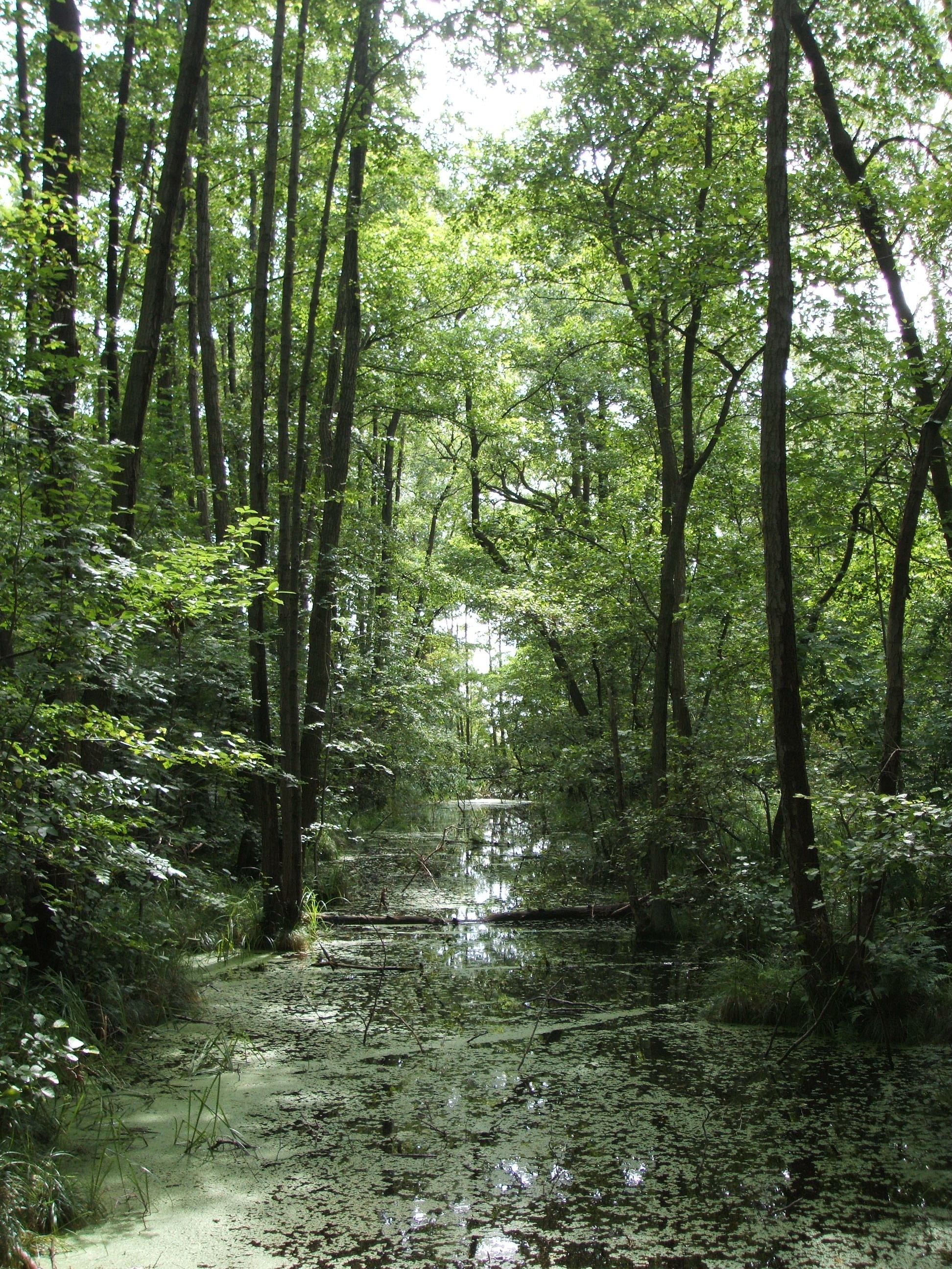
Wetlands and systematic conservation planning
|
My research focuses on the interfaces and interdependencies of conservation biology, land economics and climate change. The study objects are wetland ecosystems and protected areas in Europe. Main objectives of my work are - to facilitate and to strengthen the application of systematic conservation planning methods to European conservation problems - to contribute to a better understanding and correct implementation of economic concepts in conservation planning applications - to develop modeling tools that integrate planning for biodiversity conservation and mitigation of climate change |
 |
Efficiency in conservation through coordinated planning
Conservation takes place at multiple spatial and political scales. The aim of this project was to estimate how efficient in terms of area requirement different strategies of coordination in conservation are. We found that maximum coordination on wetland species conservation in the European Union saves on average about 40 percent reserve area relative to a scenario where countries acted independently and 25 percent relative to a scenario that depicts conservation of wetland species without any coordination. We concluded that conservation planning should take place coordinated at the largest possible spatial scale and cooperation beyond the borders of countries, biogeographical regions, or taxonomic groups should be exploited whenever reasonable. Highly coordinated conservation planning seems particularly promising in situations where on large spatial extent new reserve systems are to be established or current systems are to be enlarged. (funded by European Commission FP6 project European Non-Food Agriculture (ENFA))
Read more: Jantke, K. und U.A. Schneider (2010). Multiple-species conservation planning for European wetlands with different degrees of coordination, Biological Conservation, 143 (7), 1812-1821. Available online
Integrating land market feedbacks into conservation planning
Costs for acquiring land for nature reserves are often neglected in conservation planning or addressed inadequately from an economic point of view. Most studies assume e.g. constant marginal costs of habitat protection, thereby neglecting land market feedbacks. This may lead to highly cost-ineffective solutions in reserve selection. In this project we developed a method to integrate land market feedbacks explicitly into reserve selection. In the resulting version of the conservation planning tool HABITAT, the land costs are calculated endogenously and thus react to changes in demand for land for conservation actions. (funded by European Commission FP6 project European Non-Food Agriculture (ENFA))
Read more: Jantke, K. und U.A. Schneider (2011). Integrating land market feedbacks into conservation planning - a mathematical programming approach, Environmental Modeling & Assessment, 16, 227-238. Available online
Benefits of Earth observation data for conservation
The adequacy and value of conservation planning relies to a great extent on the availability of spatially explicit data with a sufficiently fine scale. However, the quality of existing data on the distribution and extent of wetland ecosystems as well as of data on land rents was not detailed enough for conservation planning for the European continent with its dense human population und thus high habitat fragmentation. With the help of products from Earth observation we therefore developed new fine scale datasets on wetland ecosystems (resolution up to 1 ha) and land rents (resolution 5’) for Europe. In an accompanying study we showed that conservation planning tools benefit from the integration of high resolution habitat area and land rent data. They enable more reliable estimations on area requirements, habitat shares and the opportunity costs of habitat protection. Especially the costs of habitat protection are usually severely underestimated when planning tools base on coarse scale data. (funded by European Commission FP6 project Global Earth Observation – Benefit Estimation: Now, Next and Emerging (GEOBENE) and the FP7 project A European approach to GEOSS (EuroGEOSS) and cluster of excellence Integrated Climate System Analysis and Prediction (CliSAP) flexible pool project Wetland Preservation Potentials under Climate Change)
Read more: Jantke, K., C. Schleupner und U.A. Schneider (2013). Benefits of earth observation data for conservation planning in the case of European wetland biodiversity, Environmental Conservation, 40 (1), 37-47. Available online
Download GIS Database on European wetlands here (zip-file 160 MB)
Download GIS Database on European land rents here (zip-file 2 MB)
Gaps in the Natura 2000 reserve system
The reserve network Natura 2000 is the most important European initiative to protect endangered biological diversity. We analysed the performance of the existing reserve system in conserving wetland species and found that out of 70 species only three are fully covered inside Natura 2000. All recorded occurrences of the Dutch root vole, the Pannonian root vole, and the Mallorcan midwife toad lie within Natura 2000 sites with their area requirements for viable populations fulfilled. Furthermore, 61 species are covered with at least one viable population within Natura 2000 sites. However, we also identified five species as gap species. Several raptors, the black stork, and the European otter are represented inside several Natura 2000 sites, but their minimum area and/or habitat requirements are not met. We therefore identified focus areas for expansion and delineated explicit expansion areas that would cost-effectively be best placed in Eastern Europe. (funded by European Commission FP6 project Global Earth Observation – Benefit Estimation: Now, Next and Emerging (GEOBENE) and the FP7 project A European approach to GEOSS (EuroGEOSS))
Read more: Jantke, K., C. Schleupner und U.A. Schneider (2011). Gap analysis of European wetland species: priority regions for expanding the Natura 2000 network, Biodiversity and Conservation, 20 (3), 581-605. Available online
Climate-smart conservation in Europe
Intact ecosystems harbour a large fraction of endangered species. They also act as an important sink or storage reservoir of carbon and thus mitigate climate change. Several open questions in this context build the frame for this project. How much carbon is stored in the ecosystems inside and outside European’s protected areas? Where are options to cost-effectively protect further areas with a high potential of capturing carbon? What are the costs and benefits of re-establishing healthy ecosystems? Are there synergies and eventually also tradeoffs between biodiversity protection and mitigation of climate change in Europe’s landscape? Findings of our study indicate that there is a notable potential for climate-smart conservation in Europe. Natura 2000 sites significantly overlap with regions with high carbon content and low land value. Our results suggest that biodiversity protection and and mitigation of climate change through conservation of soil carbon could be simultaneously achieved in Europe's protected areas and beyond. (funded by Postdoc-Kolleg “Sustainable Future” of the Kompetenzzentrum Nachhaltige Universität, University of Hamburg)
Read more: Jantke K., Müller J., Trapp N. and Blanz B. (2016). Is climate-smart conservation feasible in Europe? Spatial relations of protected areas, soil carbon and land values, Environmental Science & Policy, 47, 40-49. Available online
Newspaper article on this study
Most projects presented on this page were carried out with the HABITAT model. This conservation planning tool is described here.